Arqueologia del paisatge de Catalunya

Els estudis d'arqueologia del paisatge han de permetre que entenguem com es va organitzar el paisatge actual al llarg dels segles. Ha de fer possible comprendre com es crearen els pobles, les vies, els camps o els límits. D'una manera especial ens interessarem per les grans transformacions que s'esdevingueren al llarg de l'edat mitjana (segles VI-XV), tot i que sigui bàsic, a l'hora de fer aquesta mena de recerques, tenir una perspectiva de llarga durada.

Tuesday, July 27, 2004

º
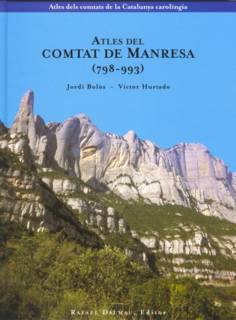
J. Bolòs - V. Hurtado, Atles del comtat de Manresa (798-993), Barcelona, 2004
[Atlas of the county of Manresa]
ABSTRACT:

The county of Manresa is one of the counties of the Carolingian Catalonia. It was bordered to the north by the counties of Berga and Urgell, to the east by the county of Osona, to the south by the county of Barcelona, and to the west by Al-Andalus, the land under Islamic domination.
Place-name maps. About 800 place-names have been found, 62,5 per cent of which have been located with precision. On the map we have indicated the names of the inhabited sites: villas, hamlets (vilars), farmsteads (masos), as well as mountains, rivers and valleys.
Economic maps. We have traced the main communication routes, according to text descriptions and information that we have gathered or that can be seen in today's topographic maps. The salt mines in Cardona were economically really important. We analyse the archaeological landscape of the plane of Bages, of Artés and of the Òdena basin. We have indicated the inhabited sites, the boundaries, the roads, the agricultural areas of each human settlement and some plot divisions which still remained from the Roman era (centuriations).
Maps of domains. The most important monasteries of this county were those of the Sant Benet de Bages and Santa Cecília de Montserrat.
Index. The index includes all the place.names that appear in the place-names map.
 Posted by Hello

0 Comments:

Post a Comment

<< Home